
Most requested
Laser Scanning
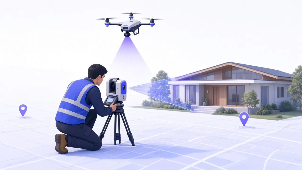
Millimeter-accurate 3D point clouds of buildings and sites — ready for design and BIM.

The right surveyor for your site — matched by hand
Need a survey — or ready to deliver one? Get matched by hand.
Share your site once. We hand-match vetted surveyors to your property — clear scope, no bidding wars.
Join the vetted network, set coverage and kit, and get matched to premium site surveys that fit your expertise.
A vetted network coast to coast — matched to specialists who already cover your region.
Managed matching, end to end
New request
Property details, survey type, and schedule in one clear brief.

The surveys clients ask for — and surveyors deliver — again and again.
Millimeter-accurate 3D point clouds of buildings and sites — ready for design and BIM.
Aerial photogrammetry and LiDAR for fast, large-area documentation from above.
Clear maps of terrain and features for planning, grading, and site design.